
Mount Etna This will work better if you hit the F11 key for "Full Screen."
Click on any picture to see it full size.
Click on the big picture to see the next one, or click on the picture title to return to this index.
F11 again when you're done.
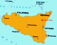
Mt Etna located on the map of Sicily
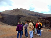
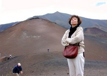
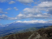
Looking up to the 3350 meter peak from the Refugio Sapienza at 1800 meters
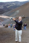
The peak (and much of Sicily) was crawling with Alpinists, Gli Alpini, gathered for the Adunata Nazionale degli Alpini 75a. (75th National assembly of the Alpinists). Mostly men not in shape for climbing the Alps, out for a good time - lots of drinking and eating, but also choral singing, visiting Sicily's tallest mountain, and a big parade in Catania the next day.
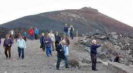
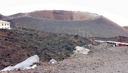
The caldera across the road from Sapienza
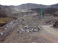
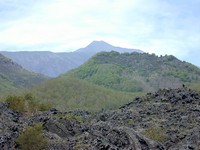
Etna from the northeast
| Previous Page (Siracusa) | | Next Page (Taormina) | |
| E-mail Max | Phone Max: (610) 664 2301 |
This page last updated August 15, 2002.home | john | max's menu